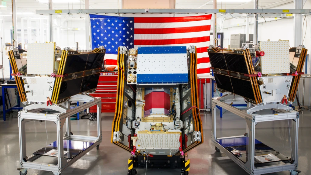
As wildfire smoke blankets North America, the first three operational satellites in the Google-backed FireSat constellation have launched. The microsatellites, built by Muon Space, lifted off aboard a SpaceX Falcon 9 rocket from California on July 7, 2026.
Managed by the nonprofit Earth Fire Alliance, FireSat is the first constellation purpose-built for wildfire detection. It can spot fires as small as 16x16 feet through smoke and clouds. Data will be provided to fire agencies in California, Colorado, Australia, and Portugal after a three-month testing phase.
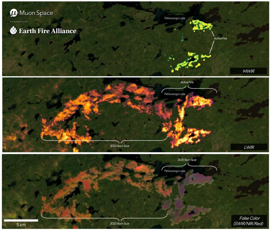
FireSat’s infrared imagery shows the Nipigon 6 fire in Ontario, Canada, on June 15, 2025, identifying active fire regions at the top, both active flames and burn scars in the middle, and old burn scars at the bottom.
The program, supported by over $15 million from Google and $26 million from the Bezos Earth Fund, aims for hourly global coverage by 2029. Google will use AI to analyze data for predictive modeling.
However, the launch comes as Canada's boreal forests burn intensely, a situation experts attribute to climate change. Nearly 900 active wildfires were burning in Canada in mid-July, causing hazardous air pollution for over 100 million people in the US and Canada.