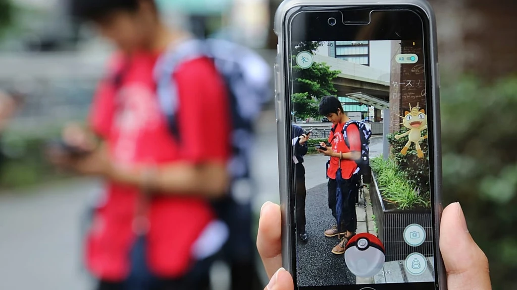
Pokémon Go, launched in 2016, remains a global phenomenon with over 100 million players in 2024. While the game turns cities like Brussels and Paris into augmented reality playgrounds, it's also contributing to advanced AI mapping.
Niantic, the developer, introduced an AR scanning feature in 2020 that lets players capture visual data of landmarks. This tool is only available to level 20+ users and requires active participation - no background data collection occurs.
Users must opt in to scan public spaces, granting Niantic rights to use the images for its Visual Positioning System (VPS), designed to enable precise navigation where GPS fails.
Niantic Spatial has trained over 50 million neural networks using approximately 30 billion images. Its VPS technology builds detailed 3D models of real-world environments by combining player-submitted scans with data from drones, robots, and satellites.
In March, Niantic partnered with Coco Robotics to deploy this system in autonomous urban delivery robots across Los Angeles, Chicago, Miami, Jersey City, and Helsinki. The robots now navigate more accurately using vision-based positioning instead of unreliable GPS signals.