A viral map circulating on X and TikTok is causing confusion about the spread of the Andes hantavirus strain. The map, from HantavirusMap.com, shows red and orange markers that social media users are claiming represent confirmed cases across Europe and North America.
Health officials say that is not accurate. The markers on the map aggregate news articles and community alerts, not confirmed infections. For example, Spain shows 18 alerts, but there are only two confirmed cases linked to the outbreak on the cruise ship MV Hondius.
The site's creator, Bas Witkop, told fact-checkers he built the tool to aggregate public reports, not track confirmed cases. He has since added clearer disclaimers.
The European Centre for Disease Prevention and Control reported 13 total cases as of May 26, including 11 confirmed and 2 probable. The agency stressed the risk to the wider EU/EEA population remains very low.
Health authorities say additional cases are expected due to the long incubation period of the Andes hantavirus. Most hantaviruses spread through rodents, but the Andes strain can spread through close and prolonged human contact.
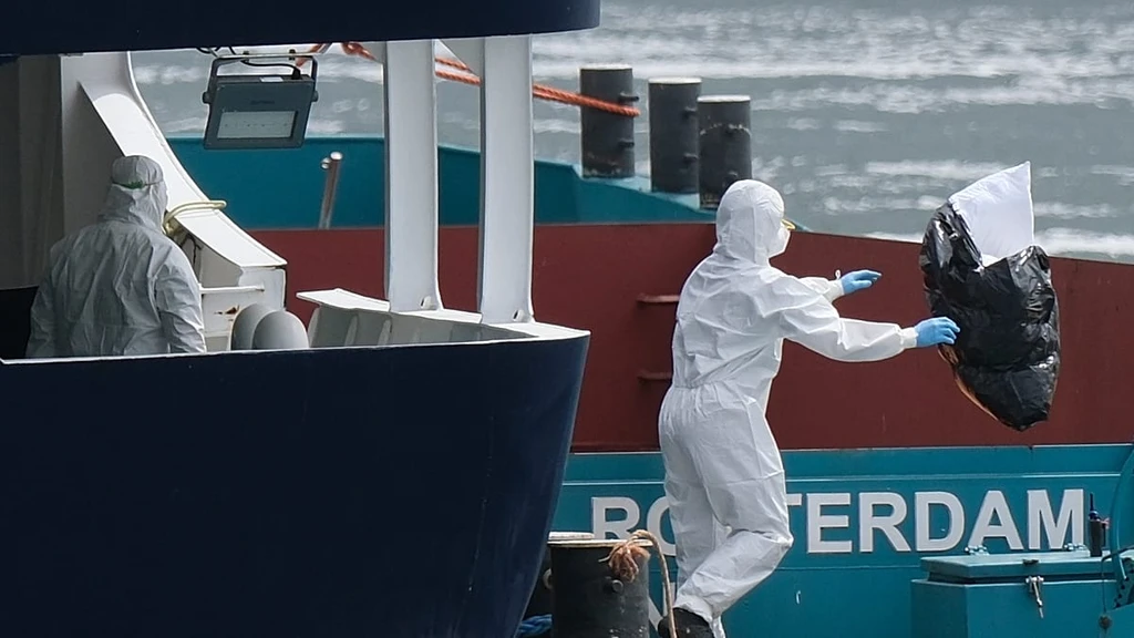
The MV Hondius outbreak has triggered a wave of online health misinformation, echoing patterns seen during the COVID-19 pandemic.